Mountain Range
Himalaya
Also known as Himalayas
The Himalaya is the world's highest mountain range, forming India's northern frontier and feeding its great rivers.
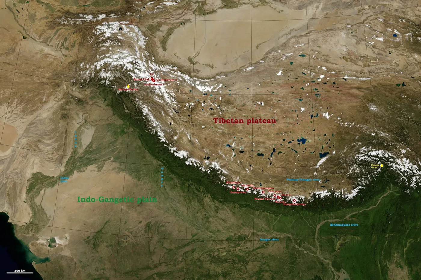
The Himalaya – from the Sanskrit for "abode of snow" – stretch in a great arc of about 2,400 km from the Indus in the west to the Brahmaputra in the east. They contain the world's highest peaks, including Mount Everest on the Nepal–China border and Kangchenjunga on India's border with Nepal.
The range is geologically young. It was raised, and is still rising, by the collision of the Indian tectonic plate with the Eurasian plate, which is also why the region experiences earthquakes. Geographers usually divide it into parallel belts: the low Shivalik foothills, the Lesser Himalaya with hill stations such as Shimla and Mussoorie, and the Great Himalaya with permanent snow and glaciers.
For India, the Himalaya are a climate shield that blocks cold winds from Central Asia and helps trap monsoon rain, and a water tower whose glaciers and snow feed the Ganga, Yamuna, Indus and Brahmaputra systems. They are also home to sacred sites such as Kedarnath, Badrinath and Amarnath, and to diverse cultures from Ladakh to Arunachal Pradesh.